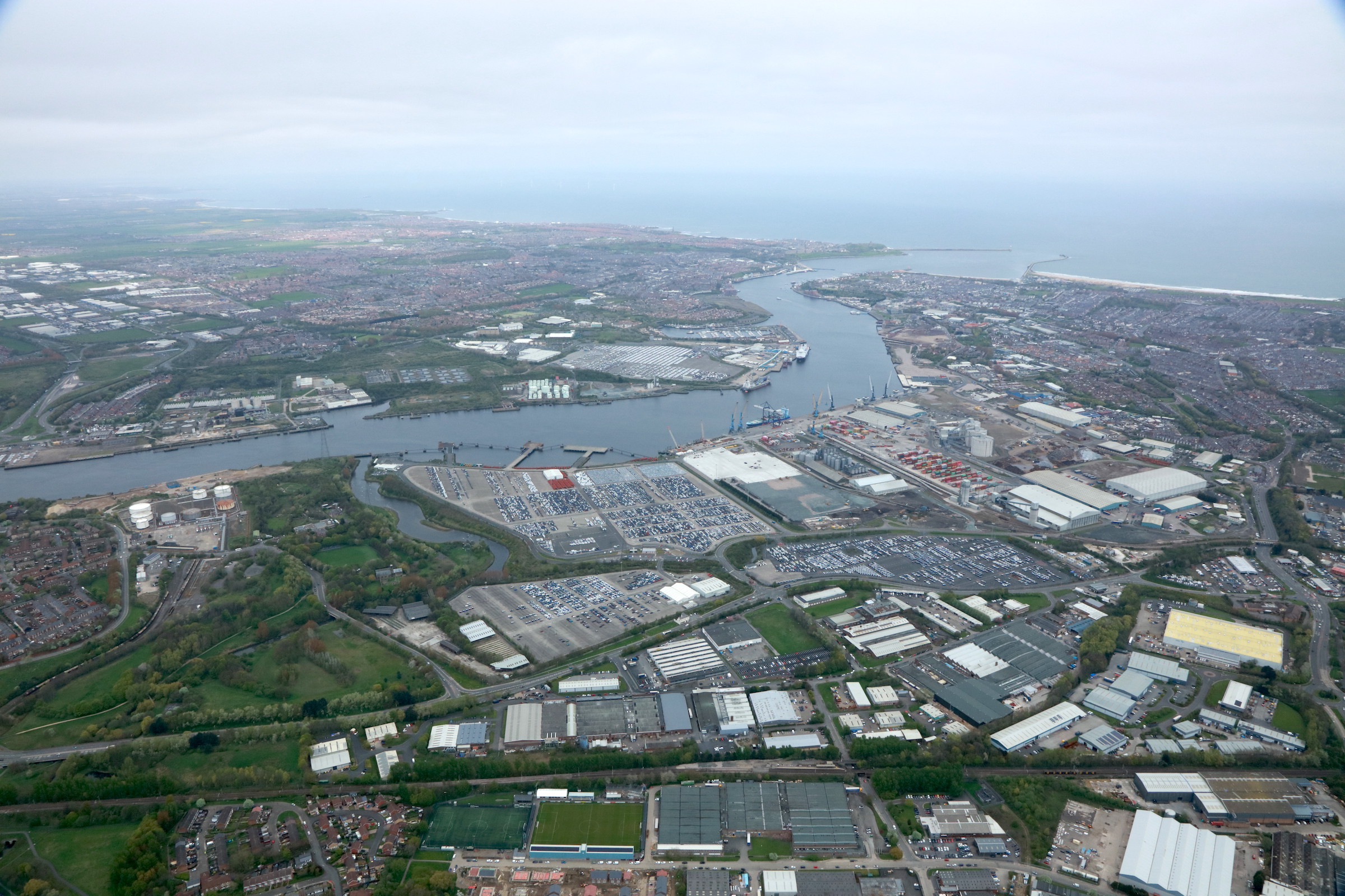
The port of Newcastle, known as the Port of Tyne, is a historically and economically important seaport in the north-east of England. The port has a ferry connection to Amsterdam, which is operated by the DFDS shipping company. The journey time is approx. 15 hours and 45 minutes.
All ferry routes 2025 / 2026
Route map: Ferries to Newcastle
Newcastle Port Information
The Port of Tyne is located approx. 14 km from Newcastle city center. Thanks to the good transport links, the port is easy to reach from the city.
How to get there
- By car: The port is directly accessible via the road network.
- Public transport: The DFD shuttle bus connects the International Passenger Terminal with Newcastle Central Station.
- Subway: The nearest subway station is Percy Main, a 20-minute walk from the terminal.
- Cab: A cab ride from the port to the city center costs around £15 and takes about 30 minutes.
- By plane: The nearest airport is Newcastle International Airport, from where the port can be reached by cab or public transport.
History of the port
The Port of Tyne plays an important role in regional and international trade. Formerly central to the export of coal, it now specializes in the export of cars and passenger traffic. The history of the port dates back to Roman times. In the Middle Ages, it was an important transshipment point for wool, coal and other goods. The Port of Tyne as we know it today developed from the 19th century with the establishment of the Tyne Improvement Commission, which contributed significantly to the deepening of the river and the construction of quays and docks.
More ferry ports in the area
Heysham (142 km)
Hull (158 km)
Liverpool (203 km)
Liverpool Birkenhead (204 km)
Douglas (216 km)
Ardrossan (225 km)
Cairnryan (228 km)
Brodick (242 km)
Aberdeen (243 km)
Kennacraig (270 km)
Larne (278 km)
Holyhead (279 km)
Belfast (287 km)
Oban (297 km)
Port Askaig (309 km)


